Vancouver’s Tunnel Bluff & Lynn Canyon Park Trails
Published by CamDarling on
Vancouver, British Columbia, a city rich in culture, history and outdoor adventures. After writing about Capilano Suspension Bridge, I wanted to share some of the local hiking trails near Vancouver. Tunnel Bluff is a great hike off the Sea to Sky highway heading towards Whistler. Lynn Canyon Park has it’s own suspension bridge that is completely free and tons of well maintained walking trails, plus there is even a water hole to take a swim! I would against hiking alone in British Columbia, it is bear country. If you are solo traveling in Vancouver, I suggest joining a Facebook group like Canada Backpackers. It’s easy to apply and reach out to others interested in a day hike.
Vancouver has so much to offer the outdoors enthusiast, so I’ve included a list of awesome website about hiking other trails close to Vancouver. Trails like Quarry Rock in Deep Cove, or Cypress Mountain that I didn’t include in this article are also worth checking out! Cypress, Grouse and Seymour are the big three mountain ski resorts within 30 minutes of downtown, in the spring it can be harder to access these areas however the mountain trails nearby are worth it! Details on how to get to each hiking location and a map are included below.
Tunnel Bluff Trail
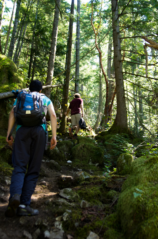
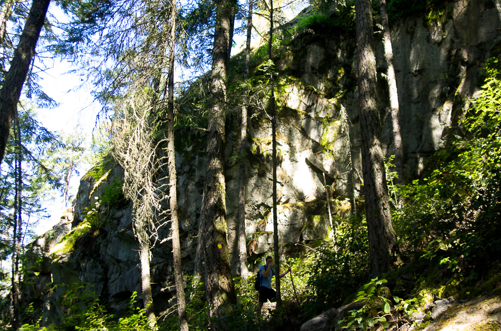
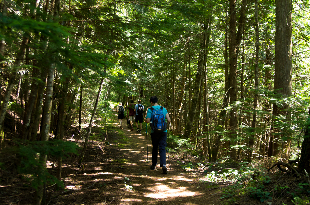
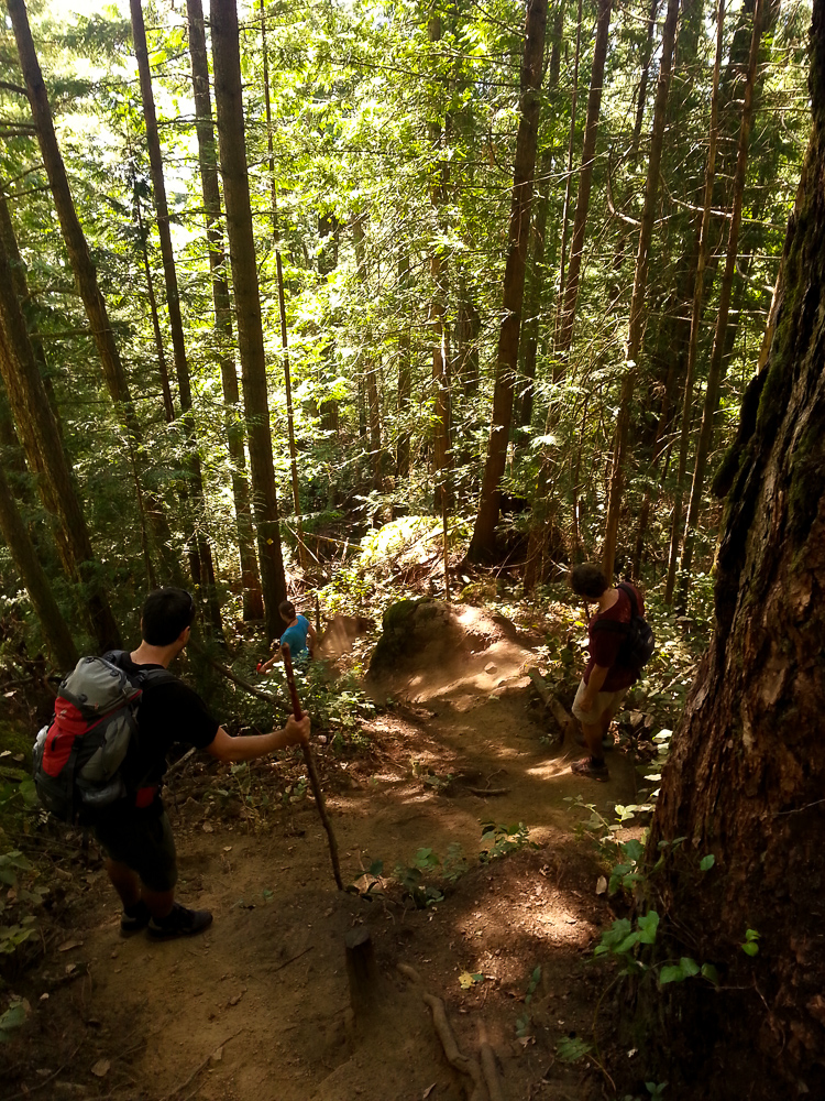
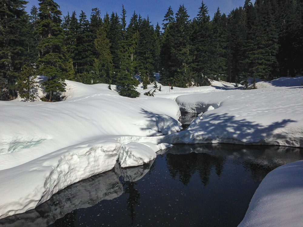
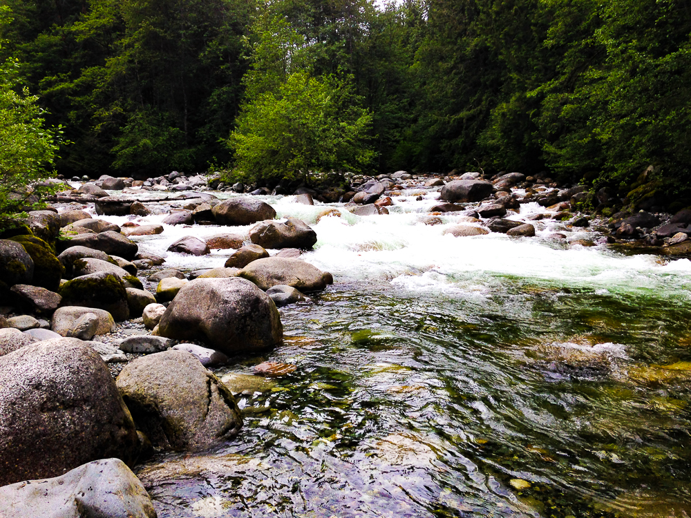
The Tunnel Bluff Trail is a moderate to difficult 7.2 km hike with a 670 m elevation gain. It can be quite challenging but It’s perfect for a day hike. It’s an in and out trail, meaning you have to return to where you started at the end. The thick forest is amazing! It’s full of Douglas Fur, Tembling Aspens, Western Redcedars, Wesern Hemlocks and Sitka Spruce trees. Some of them are over 100 m tall.
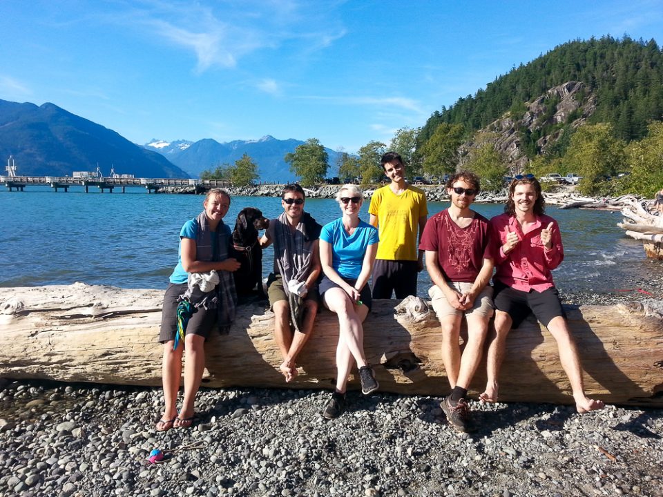
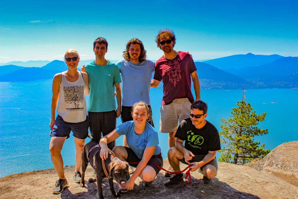
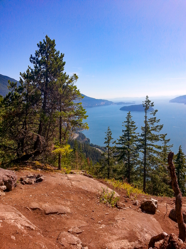
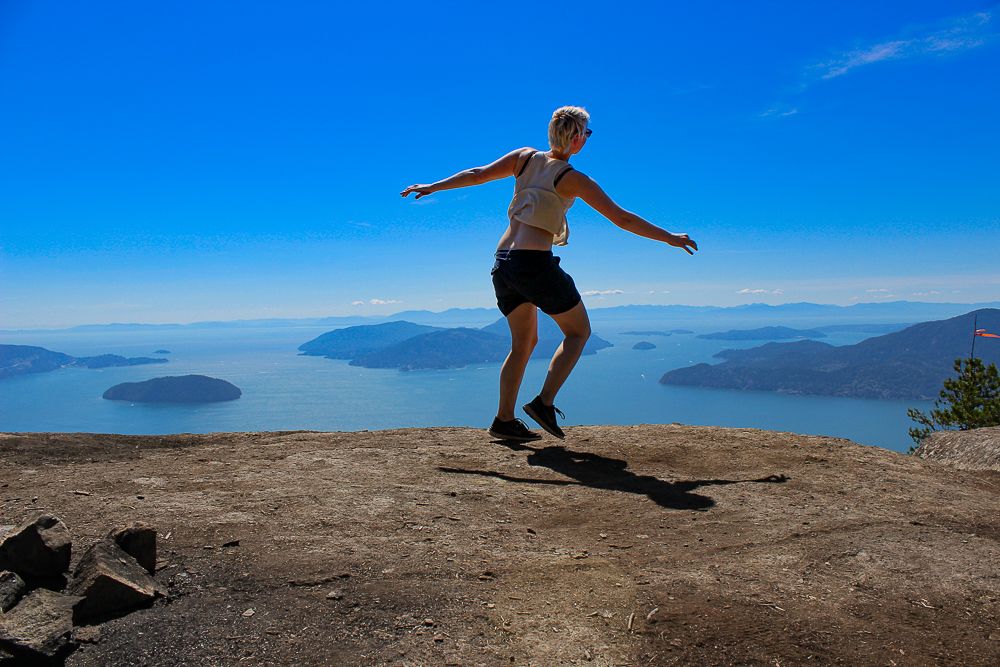
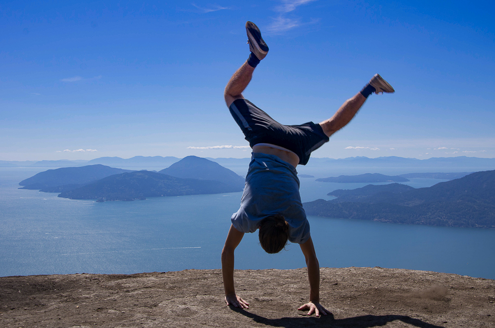
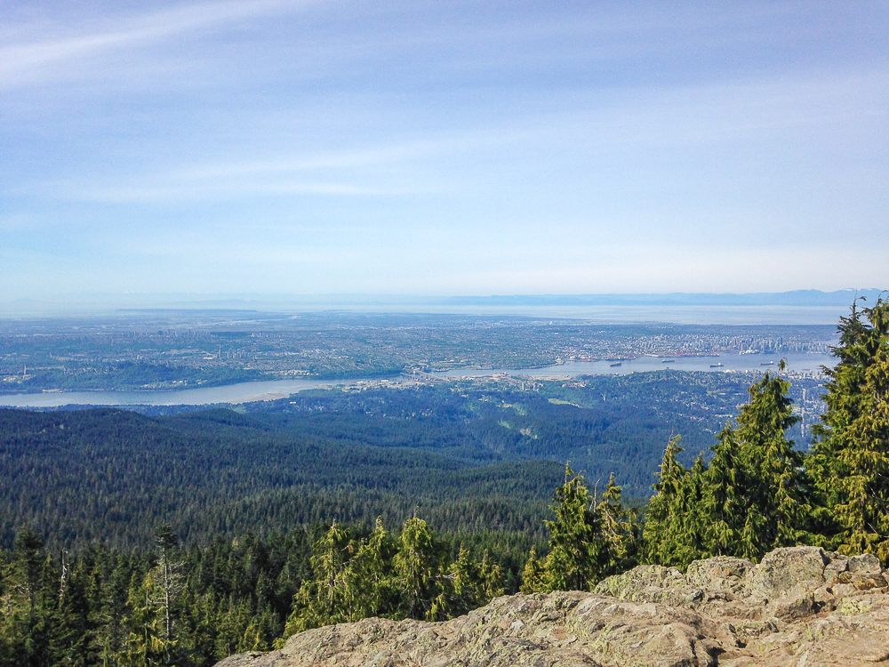
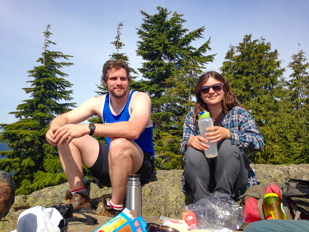
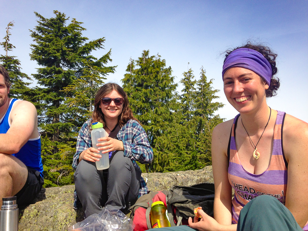
The farthest point is a wonderful clearing on the edge of the mountain overlooking the Georgia Straight and Islands off the coast. The lookout is the perfect place for a mid-day picnic. There are also geocaches located off the trail. If you enjoy geocaching via the Geocaching App, I recommend it!
This trail is best from April to September. I recommend bringing a camera and a blue filter lens. We made the mistake of not bringing a blue filter lens because all our photos were very hazy.
Getting to Tunnel Bluff Trailhead
The Tunnel Bluff Trail-head is located off the Sea to Sky Highway going towards Whistler. Except it’s much closer to the city. I’ll include a pin on the map at the end with the different tail locations. Basically, this trail-head is right off the highway just after Lion’s Bay.
It’s a little dangerous. There is a parking lot off the highway that is only accessible when you are coming southbound. So people driving from Vancouver northbound will have to drive past the parking lot about 1 km, then turn around and head back southbound and turn into the parking lot. Please do not try a U-turn on the highway. Vancouver drivers are terrible and that’s just asking for trouble. The trail-head is right across the street, be careful crossing the highway! It’s a dangerous crossing.
Hiking Apps for Canada

AllTrails is my favorite hiking app. Founded in 2010, the app now has over 10 million hikers with a database of over 60,000 trails. Most of the trails are located in the US but the most popular ones are usually listed in every country, including Canada.
The trails all have a hiker rating (5 stars), a difficulty level, elevation gain, estimated length and time. It’s the best hiking app available by far. There is even info on dog friendly & wheelchair accessible parks.
I use it along with Maps.me because you can only save and download the maps on the pro version.
- Price: Free, A full year of AllTrails Pro is $29.99 USD but there is usually a deal for 20% off – $23.99 USD for a year.
- App Rating: 10/10
- Alternatives: Gaia GPS Maps(iOS)
Seymour Hiking Trails
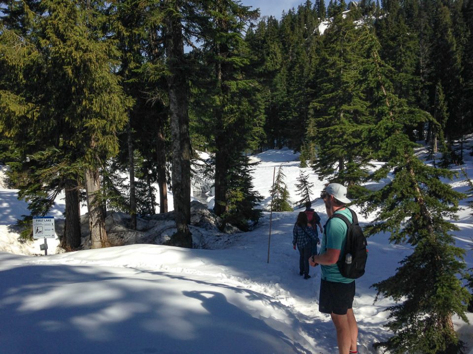
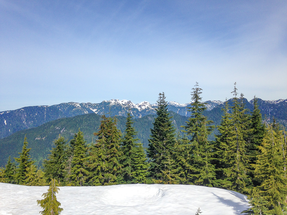
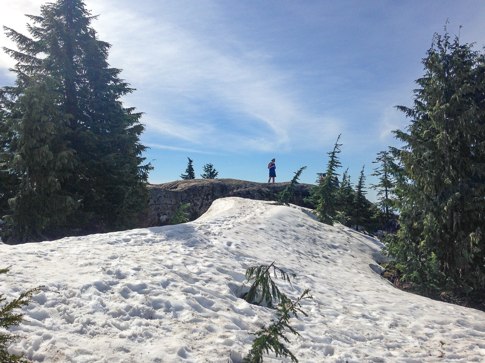
Seymour Mountain is one of the closest hiking and skiing parks to the city of Vancouver. It’s only a 30 minute drive by car north east. In the late spring – May – to late Summer – October – the mountain is accessible for hiking. There are a handful of great trails that look out over the beautiful lowlands and river delta of Vancouver. On our trip in May, the snow was still piled high despite the 30 degree weather. We found ourselves with sweaty T- shirts but cold feet as we walked through the hardened snow along the trail. The rocky lookouts are the perfect place for a mid day picnic. Pack snacks, drinks, other edibles and enjoy the beautiful mountain scenery. I brought some hot coffee in my thermas.
Getting to Seymour Mountain
The trail-head is off to the side of the ski hill and can be difficult to find. I suggest using one of the apps above to help. Getting to the mountain can be a challenge. It’s only accessible by car in the summer. In the winter there are shuttle buses from Rupert Sky Train Station. But they stop running these buses at the end of the ski seasons. I suggest taking the Sky Train to Rupert Station and trying to get an Uber. Otherwise, a taxi, renting a car or begging a friend with a car is the only way to get there.
Lynn Canyon Park Trails
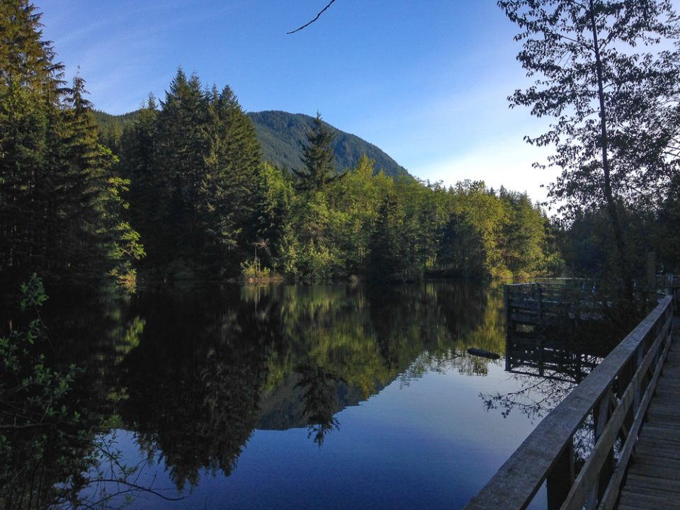
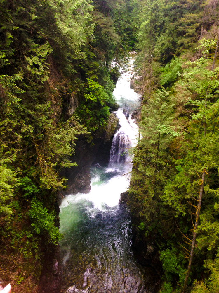
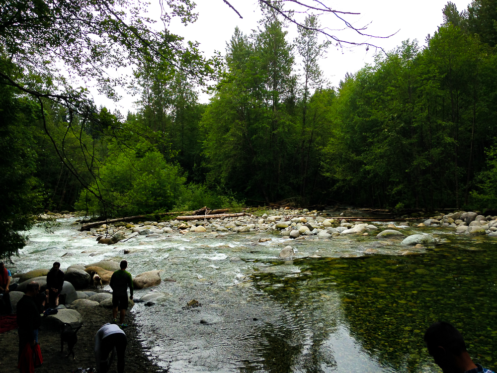
The Lynn Canyon Park is a wonderful area to visit in North Vancouver. Where the Capilano Suspension Bridge is quite expensive, I recommend visit Lynn Canyon suspension bridge over the river, it’s free! Plus there is the 30 Foot Pool for swimming and the Twin Falls where visitors can sit and relax for a picnic! Lynn Canyon Park is open in the winter, has little bridges and walkways making it easy to stroll through the forest. It’s very family friendly too.
Where the other hikes I’ve covered are a little far into the mountains, this trail is easily accessible to everyone. If you get tired, there are cafes not far away!
Getting to Lynn Canyon Park
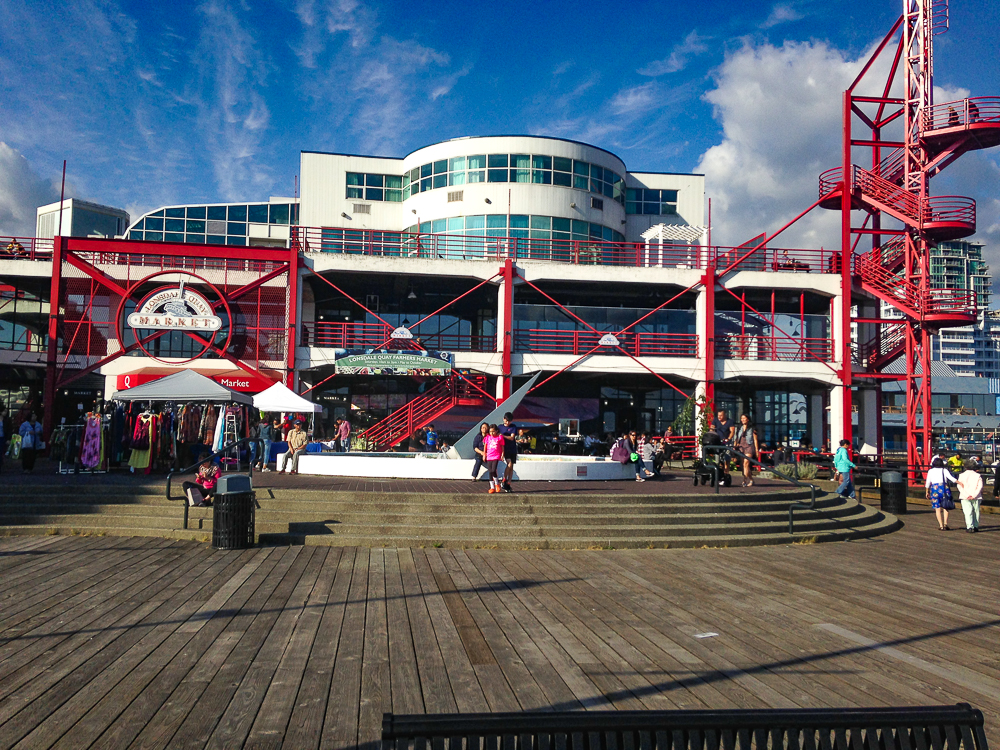
Misa and I took the ferry from Waterfront Station to the Lonsdale Quay. From there we took a bus #228 to Upper Lynn. Bus #229 is also a good choice. Just ask the friendly bus driver to drop you off at Lynn Canyon, the driver will help you get off at the right stop and point you in the right direction. It’s an easy 15 minute walk from the bus stop. A map app would help here too.
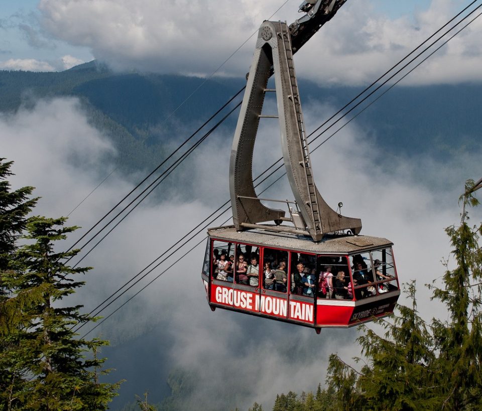
The Grouse Grind
The Grouse Grind is located on Grouse Mountain, another ski resort on the edge of the city. It’s the first of the big three mountains: Grouse, Cypress & Seymour that are within a 30 minute drive from the city. It’s called the Grind because the trail up the side of the mountain is 2.9 kms of straight thigh burning hell. The trail has an elevation gain of 853 m (2,800 ft) with no switchbacks. It isn’t like climbing 2,800 stairs, it IS climbing exactly 2,830 stairs!
The trail has a cult following of Vancouver’s most proud fitness enthusiasts. Although despite living in the city for almost 2 years, I never did attempt the grueling climb. For the average person, it’s a 1.5 hour hike to the top but the record is actually less than 25 minutes. Hikers can pick up a card with a GPS tracker that will time your climb, for the super serious hikers. Just making it to the top is an accomplishment.
Getting to Grouse Mountain
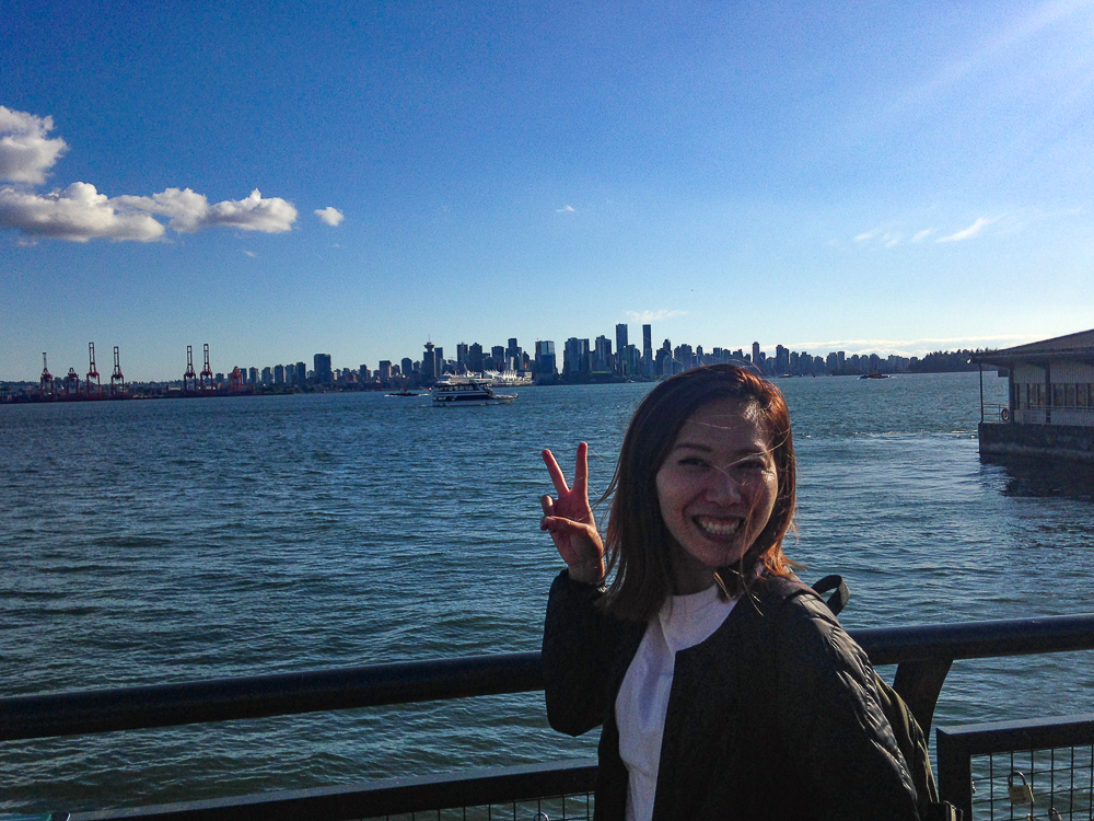
From Waterfront Station, take the sea ferry across to Lonsdale Quay. From there hop on the #236 bus for 25 minutes to Grouse. It’s easy!
Map of Hikes in Vancouver
Finding Hiking Trails
Vancouver has so many mountains and parks nearby. It is truly one of the most adventurous cities in the world. The people of Vancouver have amazing trails, mountains, creeks, beaches and dense boreal rainforests at their doorstep. But it takes more than simple location to foster the kind of love for the outdoors that is present in Vancouver. The communities of Vancouver spends their time keeping the trails clean of trash and safe with up to date reports on ice and rain. So here are a few more great resources for find other walking trails and hikes in Vancouver.
More Info for Canada
If you are still planning your trip to Canada, check out our Basic Travel Guide for Canada. We put together a quick list on all the essentials like cost, currency, transportation, geography and weather. Plus we included some links to Facebook groups and rideshare sites you might find useful to find a ride, meet other travelers or just look for recommendations in Canada.
For your pre-trip downtime, check out our List of Recommended Books, Movies and Podcasts all featuring Canada! We are always adding more good stuff you might like. And be sure to check out the Best Apps for Canada, I picked a few that are road trip specific and really worth downloading for camping, ski or trips to the beautiful National Parks.
Lastly, I recommend picking up a Prepaid SIM Card. We are an official Public Mobile vendor, meaning we can deliver prepaid SIMs with 4.5 GB of Data internationally or in 3 days in Canada with express shipping.
If you find this useful, follow us on Twitter and Instagram! You can find all our articles for Canada here in our Master List.
Pick Up a SIM Card for Canada
Canada is a vast country and the best highlights are wonderful natural environments and wildlife. Tourists visit Canada for nature, skiing, fishing, hunting and camping. So I recommend picking up a SIM Card for your stay. We made a list of the best Prepaid SIM Cards in Canada.
From popular demand we are now an Official Dealer of Public Mobile SIM Cards, one of the best plans in Canada for tourists! We ship directly to you, or your hotel as quickly as 3 days with express shipping. Just pick it up and insert the SIM. The plan of your choice will be pre-activated the day before your arrival. See Our Store for details.